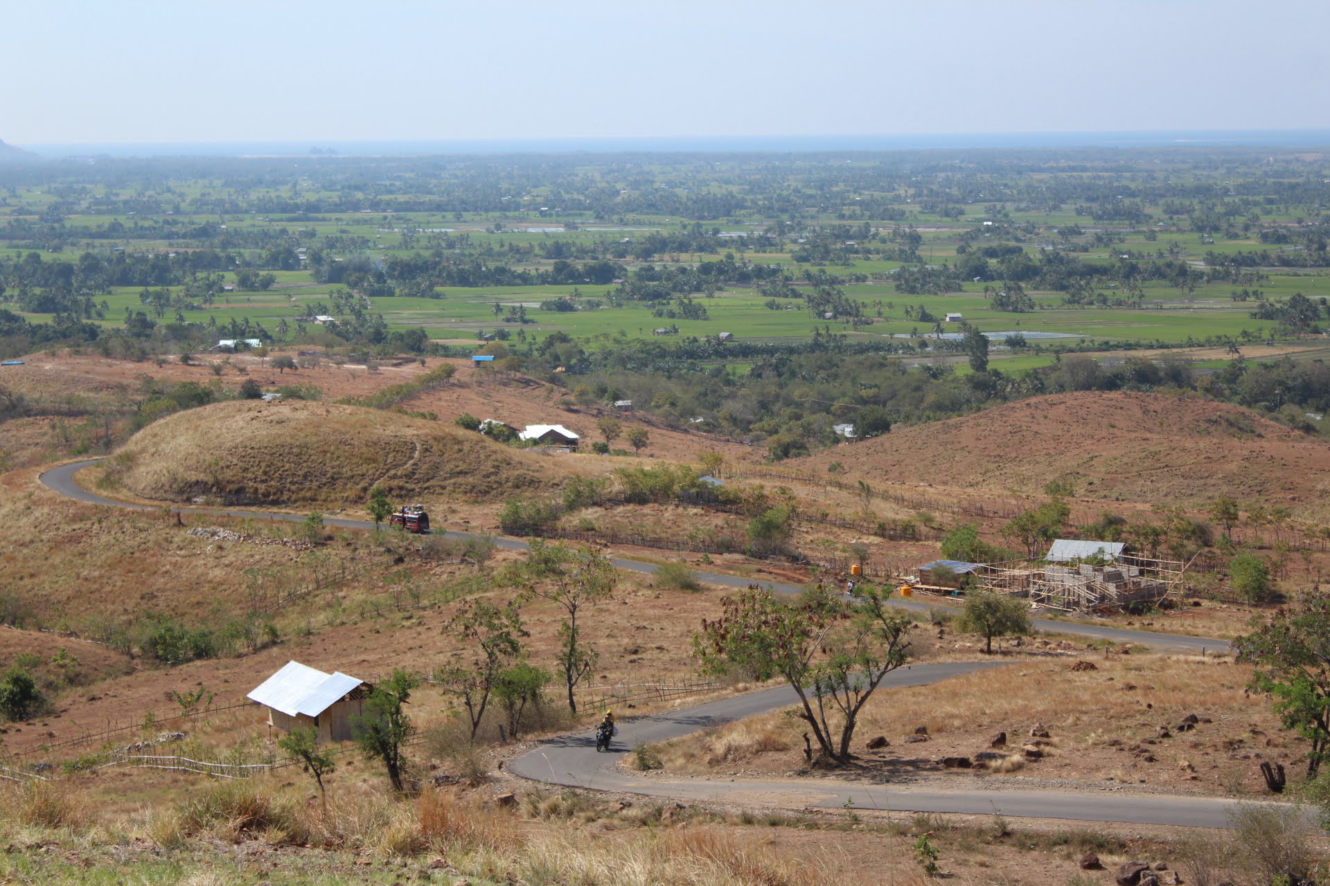
Flores Island is in the province of East Nusa Tenggara and covers an area of 15.531 km. The distance and driving time on Flores Island can vary depending on the destination you want to reach and the condition of the winding roads on the island
For example, to travel from Labuan Bajo to Ende, where the road passes through mountainous areas, the distance is around 390 km and can be reached in around 10-11 hours by car or bus. However, this travel time can also vary depending on many factors such as road conditions, traffic and weather.
For longer trips such as from Labuan Bajo to Maumere, the distance is around 515 km and can take around 10-12 hours by car or bus. Also keep in mind that in some areas on Flores Island, road access is still not very good so travel can be slower. Below is the distance and travel time from one city to another on Flores Island.
You might be interested in reading, Flores Authentic Tour
Driving Time & Distance on Flores Island
Route | Distance | DrivingTime |
Maumere – Moni | 70 Km | 3 – 3,5 hours |
Moni – Ende | 52 Km | 2 hours |
Moni – Bajawa | 174 Km | 6 Hours |
Moni – Riung | 229 Km | 6 hours |
Riung – Bajawa | 74 Km | 3 hours |
Bajawa – Ruteng | 136 Km | 4 Hours |
Ruteng – Labuan Bajo | 130 Km | 4 Hours |
Ruteng – Dintor | 120 Km | 4 Hours |
Dintor – Labuan Bajo | 103 Km | 4 Hours |
Apart from driving yourself, there is also public transportation such as buses and travel that connects various cities on Flores Island. However, keep in mind that this mode of transportation may not run on time according to the predetermined schedule.
You might be interested in reading, Flores Overland Tour 4 Days 3 Nights